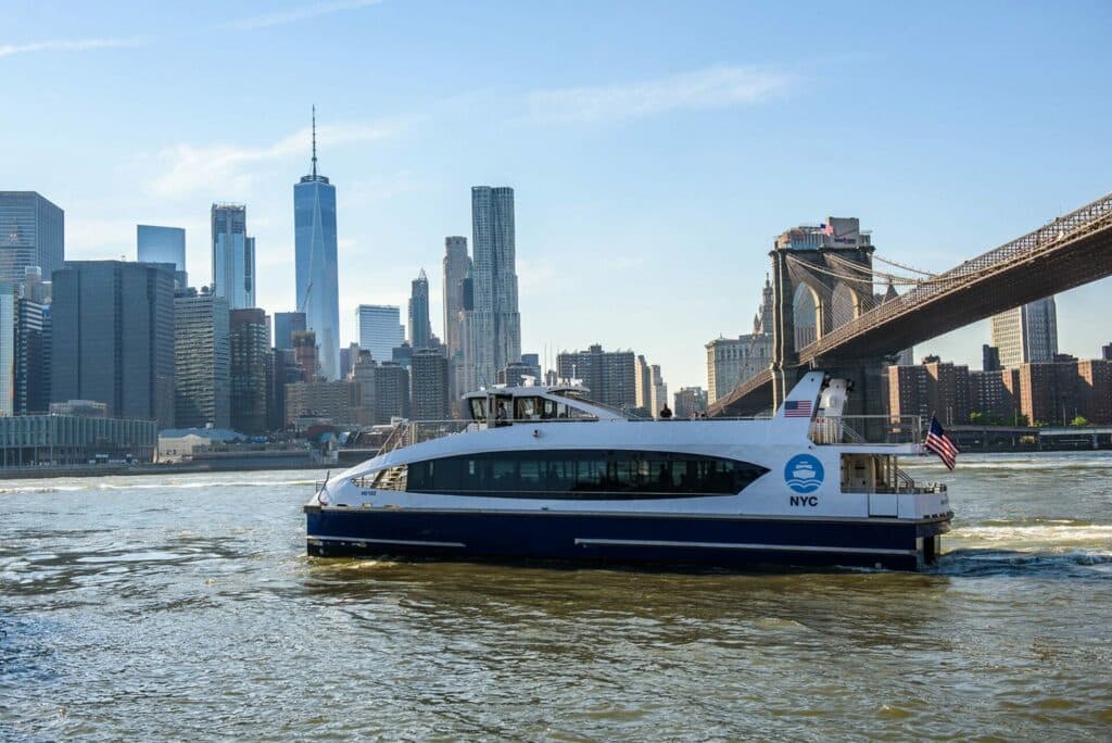
Explore, right now, via our interactive map, all the sites you will visit during the boat tour on Thursday, 20 November.
A unique opportunity to immerse yourself in New York’s maritime and port-city transformations!
An exceptional 5-hour navigation
For New York’s 8.5 million residents, the sea and waterways are part of everyday life. With more than 180 km of waterfront in Brooklyn alone and dozens of port terminals across the city, New York maintains a constant connection between maritime activity and surrounding neighbourhoods.
On Thursday, 20 November, we will embark on a 5-hour navigation, a rare opportunity to observe major Port-City developments up close.
Maritime innovation
Our route will take us through several key maritime innovation sites, including the Brooklyn Navy Yard, an economic powerhouse with 62,000 businesses and 645,000 jobs, many located on former industrial waterfront sites.
Brooklyn is home to numerous tech and biotech companies, reinforcing its role as the creative heart of New York’s economy.
It is also in this dynamic environment, at Industry City, that we will host our gala dinner.
Mobility & intermodality
Throughout the afternoon, we will address mobility challenges.
As in many port cities, road congestion remains a major issue. New York is therefore investing in intermodal logistics and pollution-reducing transport solutions.
The city relies heavily on its “Blue Highway”, a waterborne logistics network serving the entire metropolis. A quarter of the city’s food distribution originates from the Hunts Point Food Distribution Center.
At the same time, New York is investing in drone micro-freight, with a skyport now operational in Manhattan.
Towards offshore wind
No maritime exploration would be complete without approaching the Statue of Liberty, passing the container terminals that make New York the leading container port on the US East Coast, and observing the rise of offshore wind facilities.
The Empire Wind 1 project, which resumed in May 2025, includes logistics areas for turbines and blades, control offices, maintenance bases, and the landing point for electricity production before connection to the grid.
Eventually, 500,000 households will be powered by this energy.
Welcome aboard!
Join us for this key moment of the conference: a unique exploration of the port, its projects, and its innovations. Not to be missed!
Navigation itinerary
- Stop 1: Brooklyn Navy Yard
- Stop 2: Battery Coastal Resilience
- Stop 3: Statue of Liberty / Ellis Island
- Stop 4: Port Jersey Container Port
- Stop 5: Cape Liberty Cruise Port
- Stop 6: Brooklyn Army Terminal
- Stop 7: Bush Terminal Piers Park / Pier 6
- Stop 8: SBMT / SIMS Metal Recycling
- Stop 9: Brooklyn Marine Terminal / BCT
- Stop 10: Governor’s Island Climate Exchange
- Stop 11: Brooklyn Bridge Park
- Stop 12: Downtown Skyport
Extended thematic sections:
- Electrification efforts around the harbour
- Blue Highway, DSNY & NYC EDC
Continuation of the route:
- Stop 13: Cornell Tech
- Stop 14: DSNY East 91st Street
- Stop 15: Hunts Point (markets & maritime logistics)
End of the tour: Q&A or short break.
Acknowledgment
Many thanks to our co-organiser, NYCEDC, for providing this interactive map.


